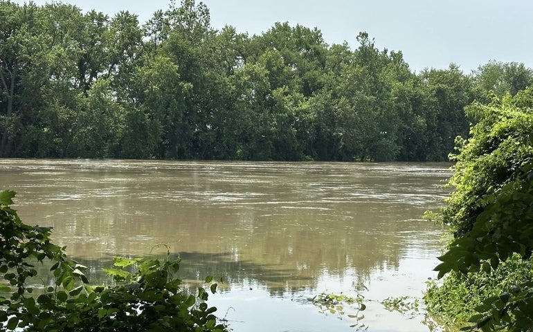
Having been pummeled by rainfall in recent days, residents of Franklin County were dealing Tuesday with flooded basements, washed out driveways, roads that have basically turned into rivers and the loss of entire farms’ worth of crops.
“It’s not good,” Rep. Natalie Blais, who represents 17 Franklin County towns and part of the city of Greenfield, said Tuesday afternoon. “Many communities saw an extraordinary amount of infrastructure damage to roadways and culverts, homeowners saw extensive damage to their driveways and their homes, and many of our farmers are really struggling as a result of the water that is on their fields.”
Between Sunday morning and Tuesday morning, towns along the northern part of the Interstate 91 corridor received multiple inches of rainfall — 4.58 inches in Conway, 4.12 inches in Ashfield, 3.89 inches in Buckland, 3.68 inches in Colrain and 3.12 inches in Shelburne, according to the National Weather Service.
Some towns in the area also are under a flood warning as the Connecticut River carries flood water runoff from Vermont — where President Joe Biden approved an emergency declaration — through the Pioneer Valley and towards the Atlantic Ocean.
The NWS said Tuesday morning that “moderate flooding is forecast” for areas along the Connecticut River, including Holyoke, Montague, and Northampton. Areas along the Deerfield River were looking at “minor flooding,” the NWS said.
As of 3 p.m. Tuesday, the Connecticut River at Northampton had reached 114.79 feet, almost three feet above “flood stage” and right at the NWS’s threshold for a “moderate flood stage.” The NWS forecast estimated that the river would rise slightly more, to 114.9 feet, Tuesday night before beginning to recede.
Dave Hayes, the self-proclaimed “weather nut” who serves the Western Mass. region, said on Facebook that the latest forecast for the river level was two feet lower than predicted early Tuesday morning.
“This is still very problematic, I am not trying to minimize it or gloss over it, but better is better, I suppose… minor flood vs. moderate,” he wrote.
Blais said Tuesday afternoon that the Massachusetts Emergency Management Agency was on the ground in her district and was “incredible” at showing up as quickly as possible.
“They’re doing preliminary damage assessments to determine what the financial impact of the storm was for our communities, that is the first step,” she said. “And then we’ll go from there in terms of disaster declaration.”
In a social media post, Blais highlighted the devastation felt at Natural Roots Farm in Conway, which was hit with “catastrophic flooding.” Blais said that situations like this week’s flooding are “horrific” for farmers because, unless they have crop insurance to cover their losses, there is not another program specifically geared towards helping them.
“The [U.S. Department of Agriculture] has loan assistance, but no direct assistance for farmers who have lost crops,” Blais said, adding that a late frost this spring caused many farmers to lose their entire peach and apple crops for the year. “It’s heartbreaking to talk with farmers who give so much of themselves to the land and to their communities. It’s heartbreaking to see.”

